🚚 Free Worldwide Shipping on All Orders!Shop Now
1 / 7
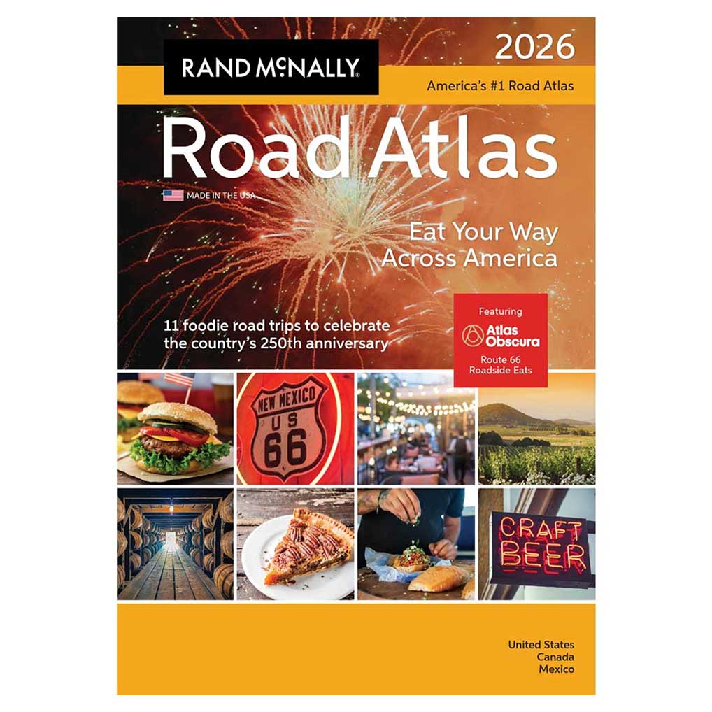
2026 Rand McNally Deluxe Motor Carriers' Road Atlas
The Rand McNally Road Atlas has been the essential, trusted tool for road travelers for more than 100 years.
- 2026 edition contains maps of every U.S. state and Canadian province, an overview map of Mexico, and detailed inset maps of 375 cities and 28 national parks
- Contains a mileage and driving times map showing distance and approximate driving times between hundreds of cities
- Rand McNally presents our editor"™s favorite year-round mountain retreats, with travel advice and tips from places to stay, family activities, and where to eat
- A state-by-state guide of "œmust-try" foods worth a road trip detour
- Tourism websites and phone numbers for every U.S. state and Canadian province on map pages
- Paperback
- 10.875" x 15.375"
- 152 pages
- Made in the USA
- Sold individually
$27.99
2026 Rand McNally Deluxe Motor Carriers' Road Atlas—
$27.99
Product Information
Product Information
Shipping & Returns
Shipping & Returns
Description
The Rand McNally Road Atlas has been the essential, trusted tool for road travelers for more than 100 years.
- 2026 edition contains maps of every U.S. state and Canadian province, an overview map of Mexico, and detailed inset maps of 375 cities and 28 national parks
- Contains a mileage and driving times map showing distance and approximate driving times between hundreds of cities
- Rand McNally presents our editor"™s favorite year-round mountain retreats, with travel advice and tips from places to stay, family activities, and where to eat
- A state-by-state guide of "œmust-try" foods worth a road trip detour
- Tourism websites and phone numbers for every U.S. state and Canadian province on map pages
- Paperback
- 10.875" x 15.375"
- 152 pages
- Made in the USA
- Sold individually